
- This event has passed.
Otairi Station
February 1, 2025 All day
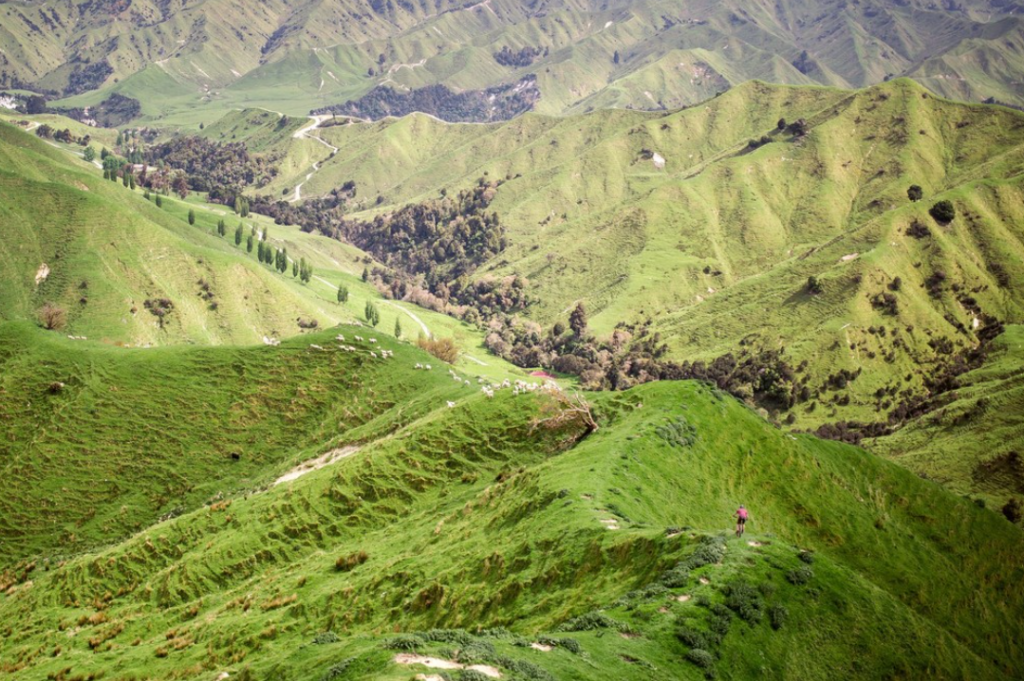
The Station’s 10,000 acres of land ranges from flat rolling to very steep hill country, peaking at around 700m elevation. It follows the Managapapa River down to its confluence with the Turakina River, providing fertile and productive river flats which are bounded by steep hills offering up majestic views of Mount Ruapehu.
| 30km Loop | 20km Loop | Hill Climb Loop | |
|---|---|---|---|
| Distance | 30km | 20km | 5km |
| Vert (m) | 1000 | 710 | 380 |
| Gradient | 3.3% | 3.6% | 7.6% |
| GRADIENT FACTOR | Bumpy | Bumpy | Brutal |